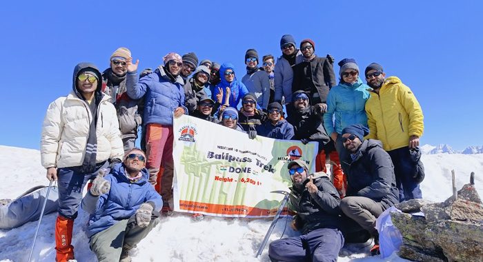


Chakrata and Moila Top
Region
Uttarakhand
Duration
2 Days, 1 Night
Difficulty
Easy
Altitude
9,400 ft.
Distance
5 KM
Trek Price: ₹4,000
Add-ons
| Items | Price (₹) | Items | Price (₹) |
|---|---|---|---|
| River Rafting (with Safety Kayaker) | 1500 | Bungee Jumping | 2500 |
| Offloading (Backpack) | 1600 | Single Occupancy Tent | 1600 |
| Trekking Shoes Rental | 550 | Down Jacket Rental | 550 |
| Trekking Pole Rental | 250 | Poncho / Rain Cover | 200 |
| Gloves | 200 | Thermal Water Bottle | 300 |
| Insurance | 100 / day |
Overview
History and Legends of the Chakrata and Moila Top
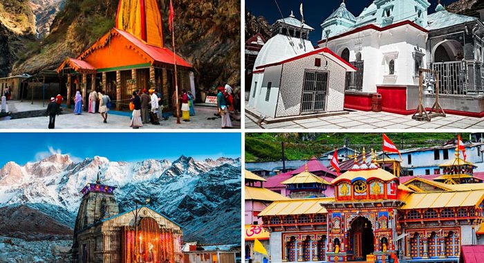
Perched in the Garhwal region of Uttarakhand, Chakrata is a historic hill cantonment established by the British in the 19th century, once serving as a restricted military base. Beyond its colonial past, the region is surrounded by dense forests, ancient temples, and sacred peaks that hold deep mythological value.
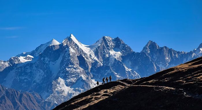
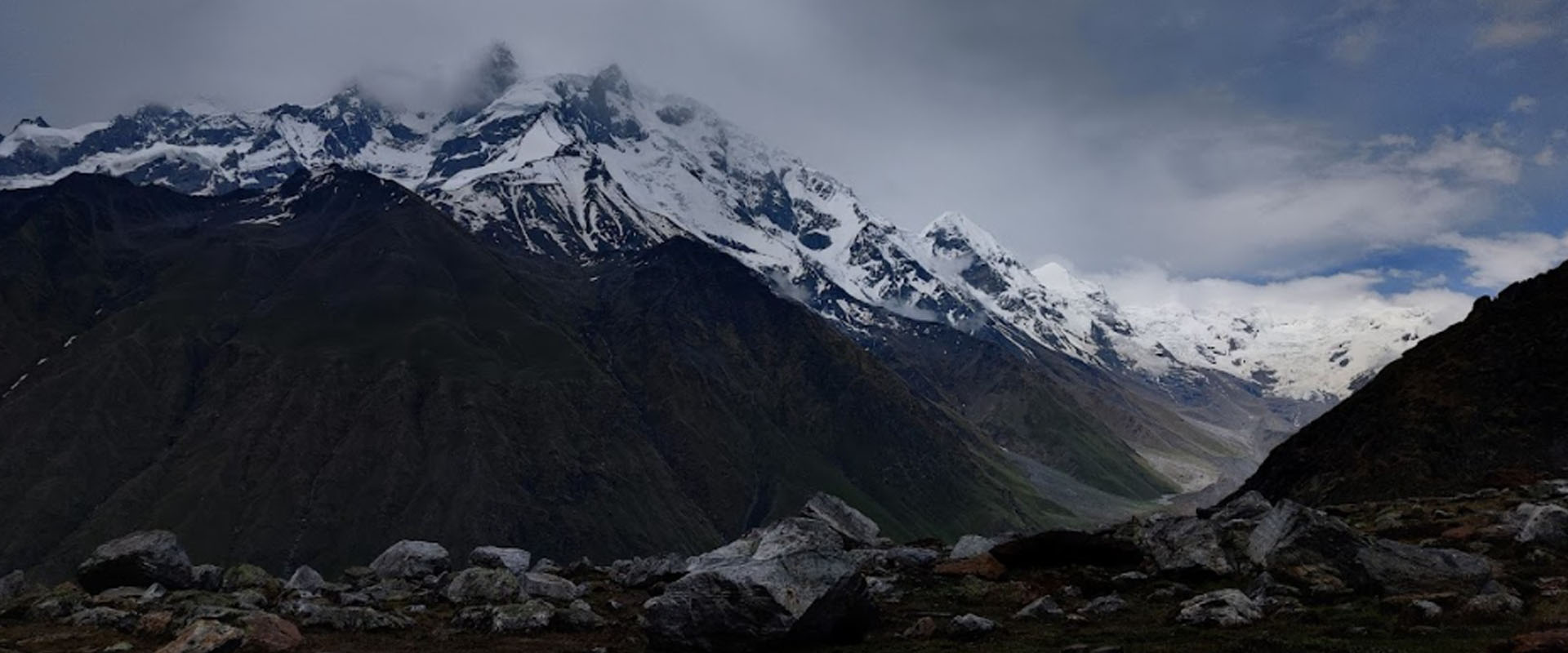
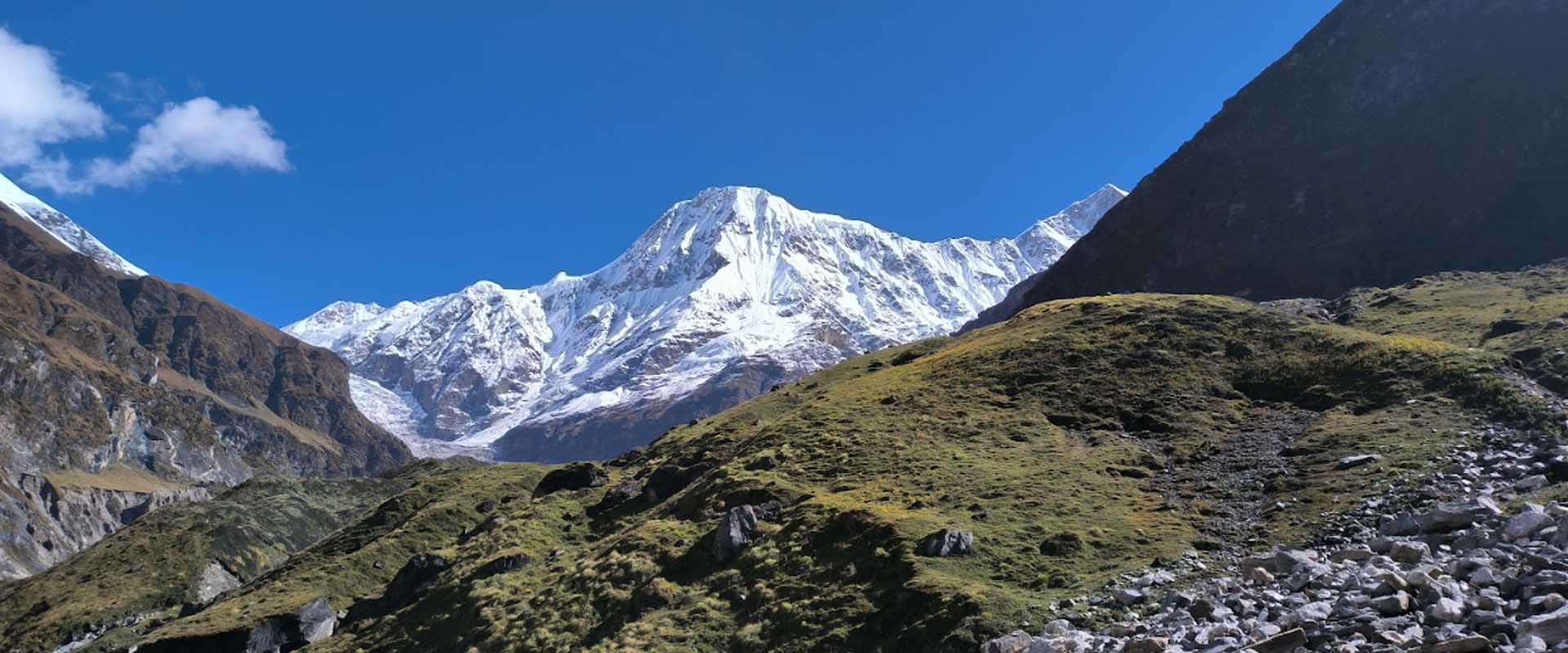
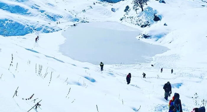
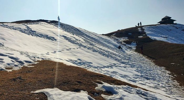
At an altitude of about 9,400 ft, Moila Top (or Moila Bugyal) is known for its breathtaking alpine meadows and the ancient Budher Caves, believed to have been built by the Pandavas during their exile. Local legends say these caves extend deep into the mountain and once connected to other hidden regions of the Himalayas.
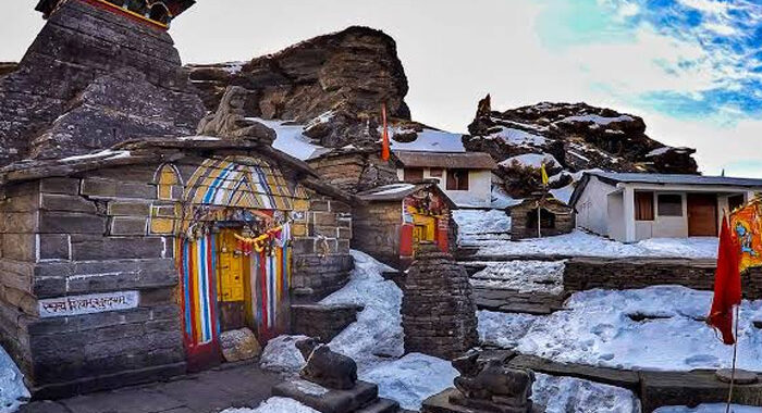
The ridge also houses a small Lord Mahasu Devta temple, worshipped as the protector deity of the area. Together, Chakrata and Moila Top blend natural beauty, mythology, and history, offering both adventure and a touch of divine mystery.
Short Itinerary
Short Itinerary – Chakrata & Moila Top Trek
Day 1: Dehradun → Chakrata (Drive)
- Scenic drive via Yamuna Valley
- Visit Tiger Falls
- Overnight stay at Chakrata
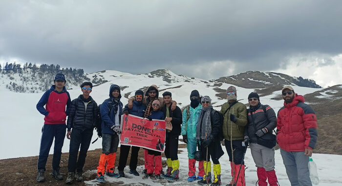
Day 2: Chakrata → Moila Top → Dehradun
- Drive to Lokhandi base
- Trek to Moila Top (6 km round trip)
- Return to Dehradun
Detailed Itinerary
Chakrata and Moila Top Trek Detailed Itinerary
Day 1: Dehradun to Chakrata (Drive)
- Start Time: 8:00 AM
- Distance: ~87 km (Approx. 3-4 hours drive)
- Highlights:
1. Depart from Dehradun after breakfast.
2. En route, enjoy scenic views of the Yamuna valley and pine forests.
3. Arrive in Chakrata by noon and check in to a hotel or campsite.
4. Post-lunch Activities:
1. Visit Tiger Falls (~20 km round trip): One of the highest direct waterfalls in India.
2. Explore Chakrata town and enjoy the serene surroundings.
5. Relax with bonfire and dinner in the evening. - Overnight Stay: Chakrata
Day 2: Excursion to Moila Top and Return to Dehradun
- Start Time: 6:00 AM
- Highlights:
1. Early morning drive (1 hour) to Lokhandi village, the base of the Moila Top trek.
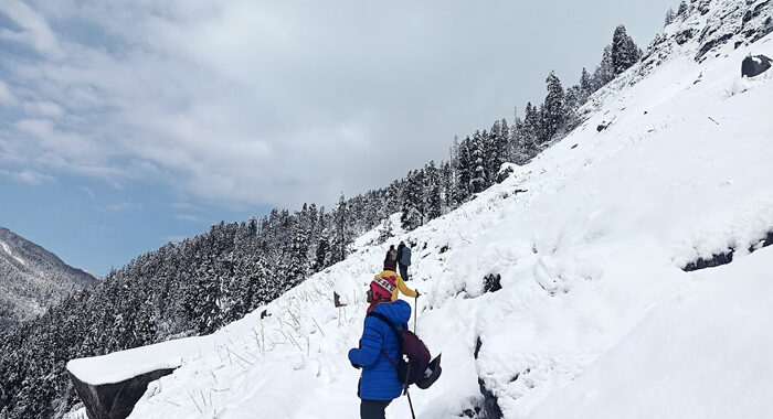
2. Trek Details:
1. Distance: ~6 km (round trip)
2. Duration: 3-4 hours (moderate trek)
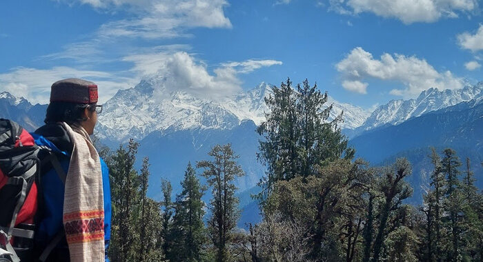
3. Attractions: Majestic Himalayan views, dense forests, and lush alpine meadows at Moila Top.
3. Return to Chakrata for lunch.
4. Post-lunch, start your drive back to Dehradun.
5. Reach Dehradun by evening (~7:00 PM).
Rental Gear List (Pre-booking required)
- Trekking Poles: ₹200 (adjustable) / ₹150 (fixed)
- RainPoncho: ₹200
- Flask: ₹300
- Gloves: ₹150/₹250
- LunchBox&Tiffin Boxes: ₹250
- Headlamps: ₹150
- Extra WarmJackets: ₹550
- Trekking Shoes: ₹550
- Trekking Pants: ₹450
Note: Reserve rental gear in advance. Rental fees may apply.
Inclusions
- Accommodation: 1 night in a hotel or campsite at Chakrata.
- Meals:
1. Day 1: Lunch, Dinner
2. Day 2: Breakfast, Lunch - Activities: Guided trek to Moila Top and sightseeing at Tiger Falls.
- Transportation: Dehradun to Chakrata to Dehradun
FAQs
Frequently Asked Questions
Q1: What is the Chakrata and Moila Top Trek?
The Chakrata and Moila Top Trek is a short Himalayan getaway in Uttarakhand that includes sightseeing in Chakrata hill station, visits to Tiger Falls, and a trek to Moila Top, known for its scenic forest trails and panoramic mountain views.
Q2: How difficult is the Moila Top Trek?
The Moila Top Trek is considered Easy to Moderate. It is suitable for beginners and weekend travelers, with a short uphill trek through forests and meadows.
Q3: What is the altitude of Moila Top?
Moila Top is located at an altitude of approximately 2,750 meters (9,020 feet) above sea level.
Q4: What is the best time to visit Chakrata and Moila Top?
The best time to visit is from March to June and September to December, when the weather is pleasant and visibility of Himalayan peaks is clear.
Q5: How many days are required for Chakrata and Moila Top trip?
The trip is usually completed in 2 days, making it ideal for a weekend escape from Dehradun or nearby cities.
Q6: What are the major highlights of this trip?
Key highlights include Chakrata town, Tiger Falls (one of India’s highest waterfalls), Lokhandi village, Moila Top forest trek, and Himalayan viewpoints.
Q7: Is this trek suitable for families?
Yes, it is highly suitable for families, beginners, and nature lovers due to its short duration and easy trekking trail.